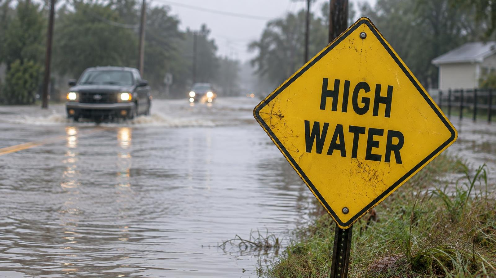
Flash floods hit Grapevine and northeast Tarrant County on Thursday, Oct. 1, grounding hundreds of flights at Dallas-Fort Worth International Airport and cutting power to more than 6,800 residents.
The National Weather Service Fort Worth placed Grapevine, Keller, Euless, Bedford, Hurst and other Tarrant County cities under a flash flood warning. The warning was extended to 12:30 p.m. Thursday, according to the Fort Worth Star-Telegram. A broader flood watch remains in effect through 7 a.m. Friday, Oct. 2.
Up to three inches of rain had already fallen by Thursday morning, with another two inches expected, according to the Dallas Morning News.
DFW Airport grounds hundreds of flights
DFW Airport, which sits inside Grapevine, Irving, Euless and Coppell, was under an FAA ground stop Thursday morning followed by a ground delay program running through 9:59 p.m., according to AeroCorner. By 9 a.m., more than 200 departing flights had been delayed and more than 80 canceled, according to FlightAware data reported by the Star-Telegram. DFW had the highest cancellation count of any airport on FlightAware's worldwide list at that time.
At Dallas Love Field, more than 65 flights were delayed and nearly 10 canceled. American Airlines and Southwest Airlines both issued travel waivers for affected passengers.
Power outages across Tarrant County
More than 6,800 Tarrant County residents and 2,600 Dallas County customers lost power as of 9:50 a.m., according to Oncor Electric. The utility said crews would respond as soon as it was safe to do so but that flooding could cause delays for field crews.
Water rescues, road closures
Fort Worth police responded to at least seven water-rescue calls by 9:50 a.m. Thursday. People reported being stuck in vehicles on flooded streets. All westbound lanes of Interstate 30 at Chapel Creek Boulevard in Fort Worth closed due to high water, and cars were abandoned on I-30 near Hulen Street.
Fort Worth residents had lined up for free sandbags on Wednesday, Sept. 30. The city handed out about 1,500 at two locations and ran out in less than two hours. "This was, today, was a learning curve for us, because we've never ran out of sandbags," Fort Worth Transportation and Public Works operations officer Juan Cadena told CBS News Texas on Wednesday.
The storm system draws moisture from former Hurricane Polo and humid Gulf of Mexico air interacting with a slow-moving cold front, according to Yale Climate Connections. Average rainfall totals through Friday are forecast at 2 to 4 inches, with isolated totals reaching 6 inches.
What's next
Rain chances continue at 60% on Saturday, Oct. 3, and drop to 20% on Sunday, Oct. 4, before clearing early next week. Residents can track high-water alerts on Fort Worth's stormwater warning map at fortworthtexas.gov/departments/tpw/stormwater/warn.